Integrated GIS Solution
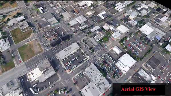
We provide an integrated end-to-end surveying and GIS (Geographical Information System) solution. The immediate and reliable collection of high quality aerial imagery and a variety of image processing options give everyday users and GIS specialists the ability gather aerial imagery faster, more accurately and more cost-effectively than satellites, manned aircraft or ground-based measurements.
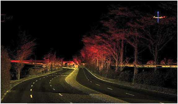
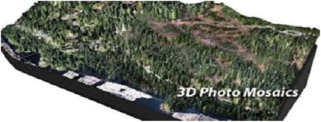
The data and imagery collected enables users to create high resolution 2D orthomosaics and maps, 3D and digital surface models (DSM), and other GIS datasets.